 Contour maps
Learning objectives
- To make the connection between landscape (3D) and map (2D projection).
- To teach how to read a topographical survey and eventually how to carry out such a survey.
- To identify routes and to show the limitations of a map.
- To introduce the representation of isotherms, isobars, etc.
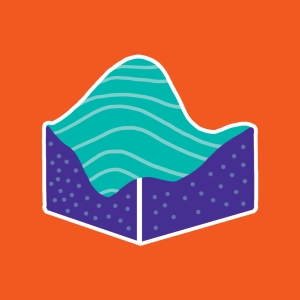
A cartographic map enables us to represent the relief (in 3 dimensions) of a geographic region on a plane surface (2 dimensions).
In addition to indicating roads, streams and rivers, homes and many other things, these maps tell us about altitudes via the use of contour lines. These are imaginary lines that link points in the landscape that are of equal altitude.
Discover EduMedia for free
The interactive encyclopedia that brings science and math to life in the classroom.
O v e r 1 , 0 0 0 r e s o u r c e s